
1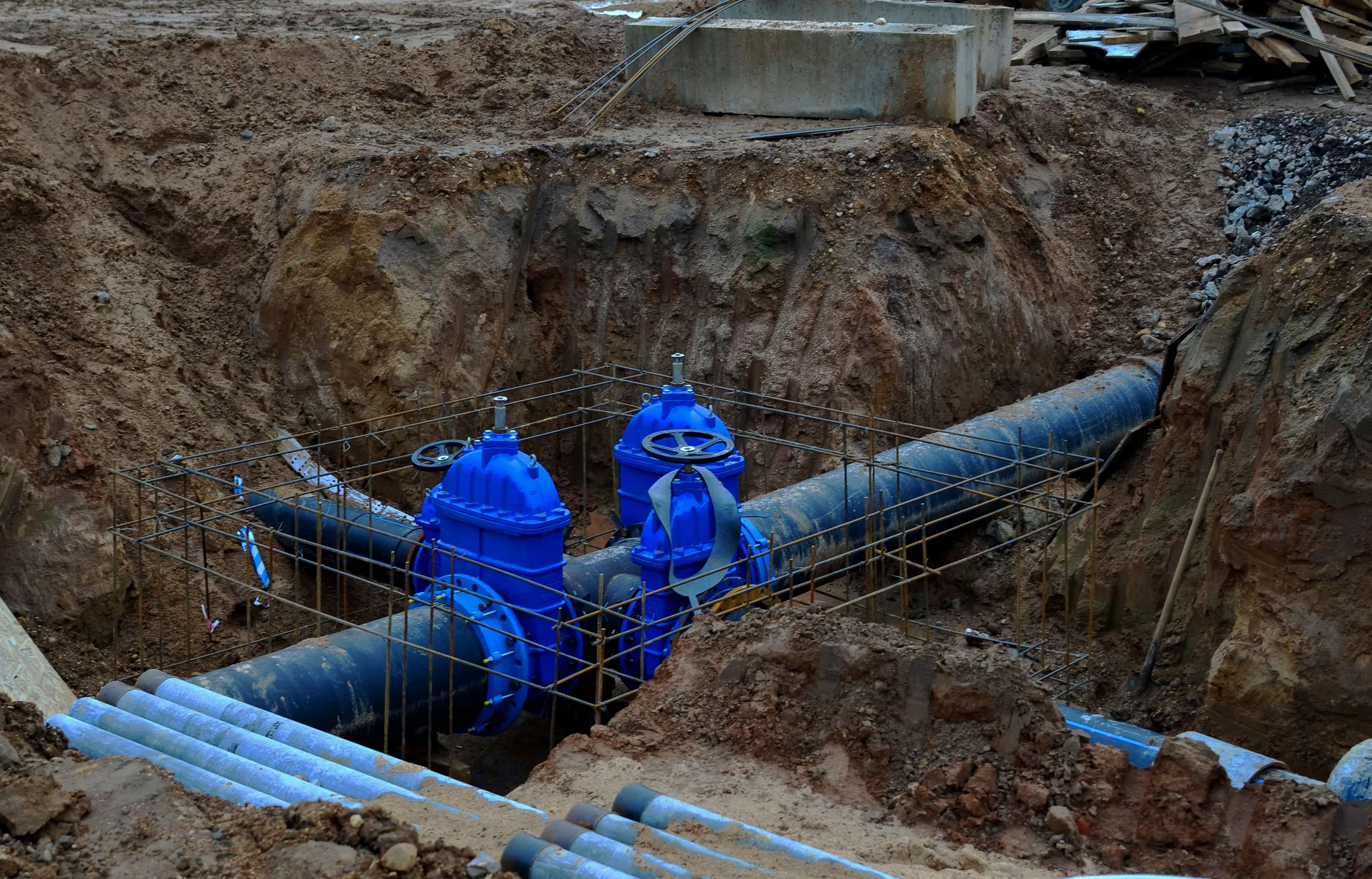
Serving communities with precision, innovation and trusted expertise - helping you build with confidence through expert design and dependable results.
At Cornerstone Civil Survey, we deliver precise engineering and surveying services to support smart development and lasting success. Our goal is to help clients build with confidence through expert design and dependable results. Choose a service below to jump to the details.

Grading, permitting and buildable solutions for residential and commercial sites.
Learn more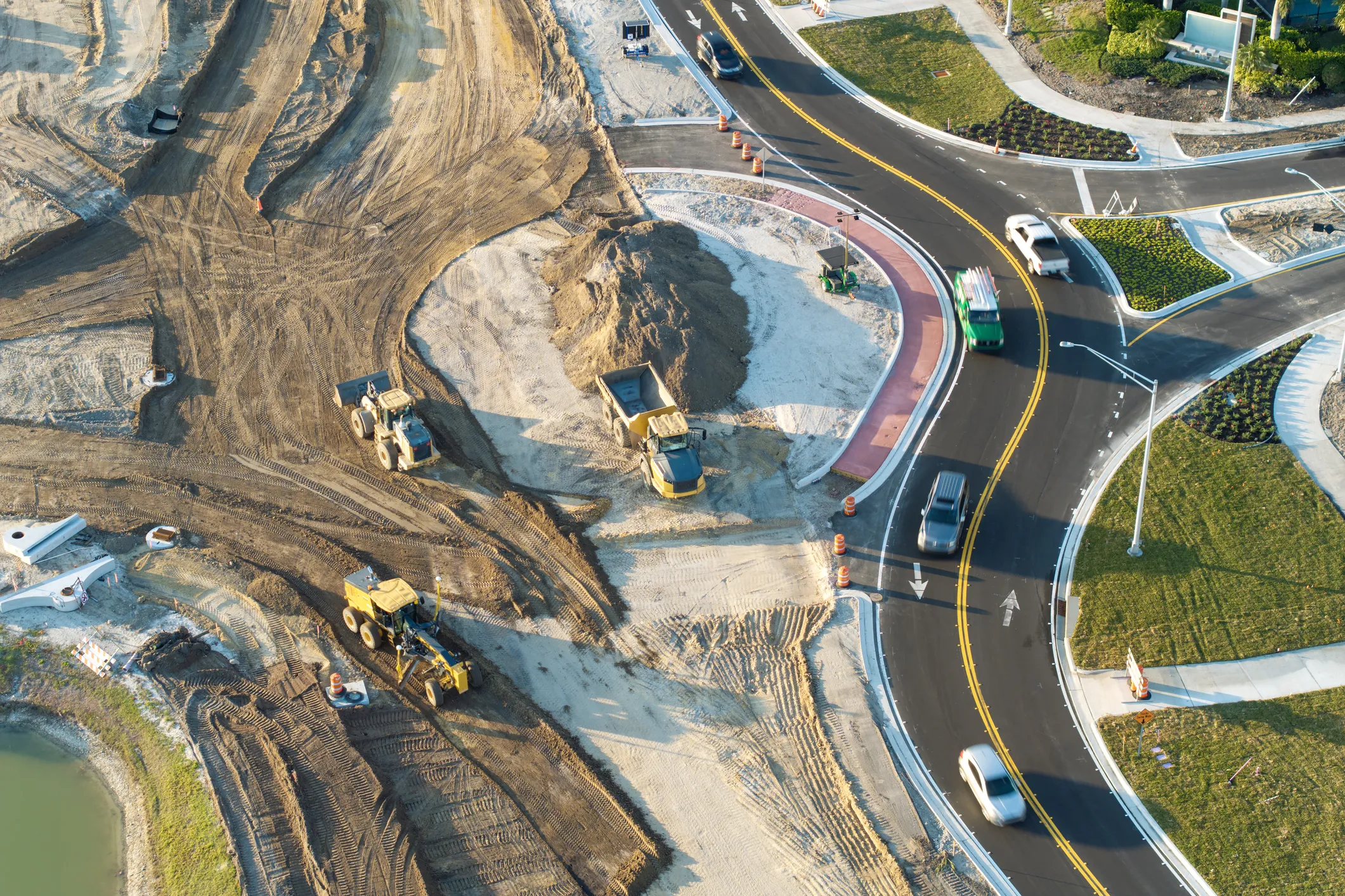
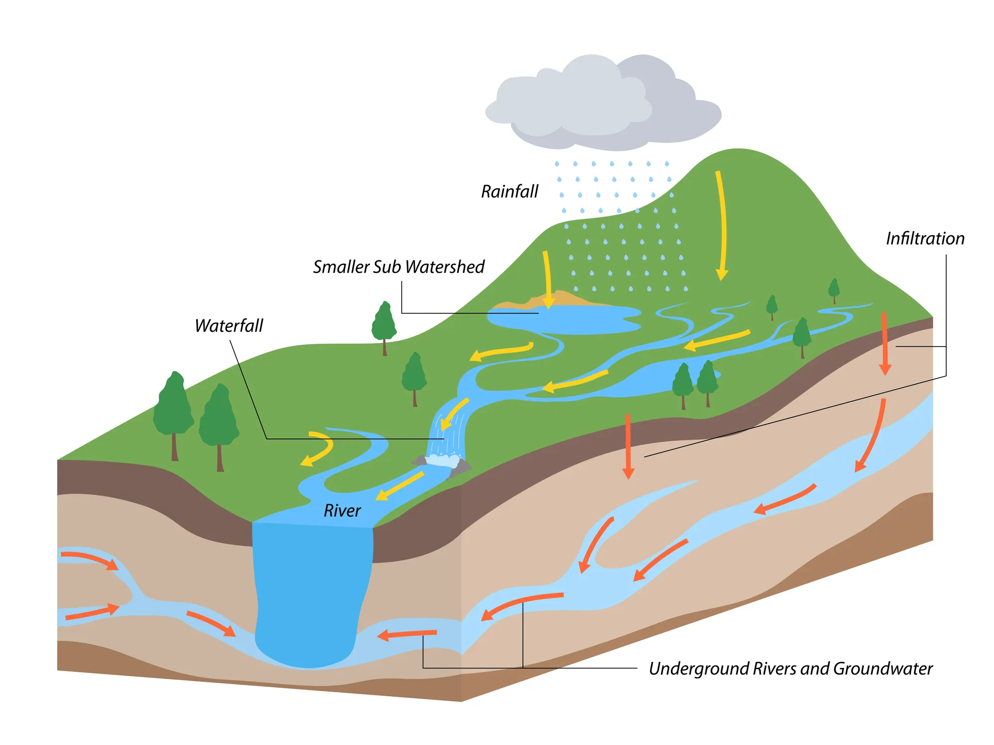
Hydrologic and hydraulic studies for stormwater, drainage and floodplain projects that keep your site compliant.
Learn more
We specialize in utility design and mapping for new and existing infrastructure. Our team provides precise underground utility plans to ensure safe, efficient development.
From grading plans to permitting, we provide full-service residential and commercial site development. We design smart, buildable solutions tailored to your property and local regulations.
Our roadway design services include everything from traffic flow analysis to final construction plans. We deliver safe, compliant roadway solutions for public and private sector projects.
We conduct detailed hydrologic and hydraulic studies for stormwater, drainage and floodplain projects. Our water modeling ensures your site meets regulatory and environmental standards.

Our licensed surveyors deliver accurate results for buyers, builders and developers throughout Ohio.
At Cornerstone Civil Survey, we take pride in serving communities across Central and Southeastern Ohio with reliable, precision-focused civil engineering and surveying services. Whether we’re providing a boundary survey for a new homeowner in Lancaster, assisting with site design for a commercial build in Chillicothe, or completing a drainage engineering plan in Circleville, our goal remains the same: to deliver accurate data and dependable results that move your project forward.
Our licensed professionals are experienced in everything from construction surveys and lot splits to complex subdivision design and roadway engineering. We regularly partner with developers and clients in Logan and Athens on topographic and utility mapping, while our team provides civil site development support in growing areas like Newark, Heath and Zanesville.
We understand the importance of local knowledge, especially when handling floodplain studies or stormwater drainage design in communities like Johnstown and Delaware. And as demand increases across the Columbus metro, we remain a trusted resource for civil engineering solutions that meet local and state requirements.
With over 30 years of experience in Ohio survey and engineering work, Cornerstone Civil Survey offers the insight, tools and service you need to build with confidence - wherever your project takes you.
Based in Ohio and serving clients statewide, with deep roots in Central and Southeastern Ohio - including Circleville, Athens, Lancaster, Chillicothe, Logan and surrounding areas.
Future property owners in Logan and Chillicothe often ask what to expect during a boundary survey - the process, why it’s required before land sales and how accurate surveying protects buyers and builders alike.
In Lancaster and Newark, early site development starts with engineering insight. From land evaluations to utility layout and grading, civil engineers create efficient, build-ready plans.
From Circleville to Athens, heavy rain challenges builders. Without proper drainage design and stormwater control, projects risk flooding, erosion and costly delays.
Contractors in Zanesville and Chillicothe rely on construction surveys to keep projects moving - staking structures, verifying elevations and supporting efficient workflows.
Lot splits in Heath and Delaware must meet zoning and planning standards. Accurate surveys ensure legal compliance, clear boundaries and smooth municipal approvals.
Growing communities like Columbus and Logan depend on thoughtful subdivision planning - lots, roadways and drainage systems for scalable, code-compliant development.
Builders in Newark and Athens use topographic surveys to understand site elevation and natural features, supporting grading, stormwater planning and land design.
Smart road design impacts traffic flow, safety and long-term development. From intersections to cul-de-sacs, engineers create safe access tailored to Ohio communities.
In Circleville and Columbus, commercial transactions often require ALTA/NSPS land title surveys - what’s included, who requests them and why they matter for due diligence.
Engineers in Chillicothe and Delaware support every phase of land development - from stormwater design to site grading - taking projects from idea to approval.
In Newark and Logan, flood elevation certificates are key to insurance requirements and FEMA compliance. Learn what they include and when they’re needed.
Surveying success takes local insight. From Lancaster to Athens, Ohio-based professionals know the land, laws and permitting processes that shape your project.
CSCS Design provides expert site planning, drainage design and stormwater management for builders, developers and municipalities across Central and Southeast Ohio, including Circleville, Athens, Lancaster, Chillicothe and surrounding areas. Our team combines technical precision with local insight to deliver safe, compliant and future-ready solutions for every project.
Permitting varies by jurisdiction, but may include zoning approvals, driveway or access permits, stormwater permits (SWPPP/NPDES), floodplain permits, utility tap permits, and county subdivision reviews. A civil engineer can coordinate these requirements with the appropriate agencies.
Yes, a boundary survey is often required to confirm legal property lines and avoid future disputes. It's highly recommended during land transactions or new construction.
A boundary survey defines property lines, while a topographic survey maps land elevations and physical features. Both serve different purposes depending on your project needs.
Most surveys can be completed in a few days to a couple of weeks, depending on the size and complexity of the site and availability of previous records.
This is a detailed, standardized survey used in commercial real estate transactions. It shows boundaries, improvements, easements and zoning elements required by lenders and title companies.
Yes. We provide subdivision design, lot split documentation and coordination with local planning authorities to ensure compliance with zoning and development codes.
Civil site development includes grading, drainage, utility planning and permitting - typically needed for residential subdivisions, commercial sites and infrastructure projects.
We serve communities throughout Central and Southeastern Ohio, including Lancaster, Logan, Chillicothe, Newark, Heath, Circleville, Athens, Zanesville, Delaware, Johnstown and Columbus.
Yes, our team provides stormwater design and hydrologic/hydraulic reports to meet local and state stormwater management requirements.
Construction staking is the process of marking the exact location of proposed buildings, utilities, driveways and other site features on the ground. Contractors rely on these stakes to build according to the approved plans. Most Ohio counties require staking before excavation begins, especially on commercial sites or new home builds.
GIS mapping helps engineers analyze multiple layers of information - property boundaries, terrain, flood zones, utility corridors, wetlands and zoning districts. Using GIS early in a project can help determine whether a site is suitable for development and reduce surprises during permitting.
If a property falls within a FEMA-mapped flood zone, an elevation certificate is usually needed for flood insurance, building permits, or new construction. The certificate documents the building’s height relative to the base flood elevation and helps determine flood risk.
A drainage plan outlines how stormwater will move across a property and where it will be released. These plans typically include grading details, culverts or swales, watershed calculations and stormwater detention requirements. Many Ohio cities require an engineered drainage plan before issuing site permits.
Yes. Installing improvements without confirming your property lines is one of the most common reasons neighbors end up in disputes. A boundary survey protects you from encroachments and ensures your project meets zoning setbacks.
A utility location survey identifies visible utilities and gathers information about buried lines from utility providers and site research. For complex projects, subsurface utility engineering (SUE) may be recommended to locate utilities with more precision before digging.
Yes. A setback or zoning compliance survey confirms that existing or proposed structures meet local zoning requirements. This is often needed for new construction, additions, garages and accessory buildings.
Site grading shapes the land so that water flows away from structures and into proper drainage paths. Good grading protects foundations, prevents erosion and ensures the overall site meets engineering and building standards.
The earlier, the better. Involving a civil engineer during the concept stage can help identify site constraints, streamline permitting and minimize redesigns. Early engineering input often reduces both cost and delays.